The route of the crusher
The route of the crusher
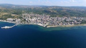
Ezine is a settlement within the borders of the Marmara Region. The Çanakkale-İzmir highway passes through it. It is 42 km from Çanakkale.
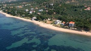
Ezine is a settlement within the borders of the Marmara Region. The Çanakkale-İzmir highway passes through it. It is 42 km from Çanakkale. It is surrounded by Bayramiç in the east, the Aegean Sea in the west, Ayvacık district in the south, and the central district of Çanakkale province in the north. The district is generally covered with forests in the west and northwest, with the Mediterranean climate plant being seen. The main species of the county forests is the red pine. Among the tree species, there are varieties of oak, maple, maple, and walnut. Meanwhile, large areas along the coast are covered with olive trees.
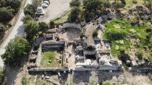
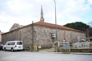
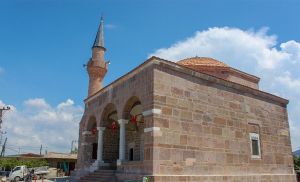
In ancient times, it was a settlement center established on Çaltıkıran Tepe, which is located above the current military barracks. This settlement center was destroyed in the battle that took place during the settlement of the Danish Turks in western Anatolia after the Battle of Malazgirt. The Turks built a new settlement called Danişment next to the old one. According to local legends, Abdurrahman Bey, the Bey of the Danish Turks, had the Great Mosque built on the southern edge of the site of the present Ezine ⁇ . The purpose of the construction of the mosque is to make the Friday prayer and on this occasion to ensure that the people of the surrounding villages come down to the center once a week. According to the same tradition, the word "Ezine" is also derived from "Ezine", which means "Friday" in Persian. There are also rumors that the name Ezine was pronounced igne for a while.
