The Konya land route
The Konya land route
Karatay is one of the 3 Central Districts of Konya. With a population of 30,2392, it has more people than many provinces in our country. The tomb of Mevlâna Celaleddin-i Rumi, one of the important personalities of the Islamic world, is also located in this district.
Karatay is one of the 3 Central Districts of Konya. With a population of 30,2392, it has more people than many provinces in our country. The tomb of Mevlâna Celaleddin-i Rumi, one of the important personalities of the Islamic world, is also located in this district.
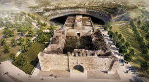
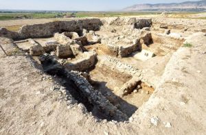
Although the establishment of the district of Karatay took place with the city of Konya, it is one of the oldest districts in terms of historical and social structure. The foundation of the county dates back to prehistoric times. The historical structure is more characteristic of the Seljuk, Karamanid and Ottoman periods. This feature is reflected in the Karatay Madrasah, the Sharafettin Mosque and the inns and caravanserais along the route. The great steward Mevlâna Celaleddin-i Rumi, who gave Konya the character of a city of scholars and ensured that tourism remained alive in every season, gives the district a completely different self and identity.
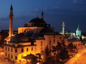
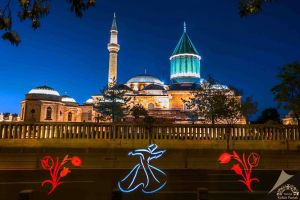
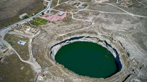
The land structure of the county is generally flat and flat. The highest point is Bozdağ on the Aksaray road. The area of Obruk has a steppe character and there is a small Obruk lake near the village of Obruk. Among the factors that keep tourism alive in every season are: the Mevlâna Museum, which is constantly visited by domestic and foreign tourists in our country, the tomb of Mevlâna Celaleddin-i Rumi ⁇ s friend and the great work in his upbringing, handicrafts such as weaving, handicrafts, weaving, weaving, carpet weaving in the Obruk area.
