The Northern Erzurum Route
The Northern Erzurum Route
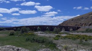
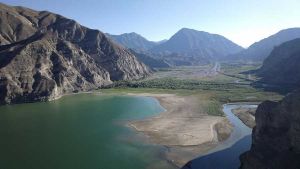
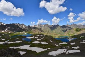
Two climates coexist in the city. The city, which is characterized by the Black Sea climate and the terrestrial climate, has unique natural beauties in this regard. 32% is covered by plateaus. It is also important for its location at the confluence of the Erzurum, Çoruh, Aras, Euphrates basins, which are rich in groundwater and surface water resources. The main rivers of these three basins originate from the Erzurum Mountains. The most important lake of the year is Lake Tortum. The maximum water level of the lake, which covers an area of 6.6 km2, is 1014 meters. The maximum water level of the lake, which covers an area of 6 km2, is 1014 meters.
Due to its natural beauty and favorable structure, the Çoruh Valley is a center for outdoor sports. Extremely suitable for rafting, canoeing, trekking and mountaineering, the valley is also visually and technically rich. The river is undoubtedly one of the most exciting rivers in the world. The swamp forms the western end of the Caucasus Ecosystem with its biodiversity; the basin is also an important center for bird, butterfly and wildlife observation.
