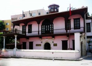
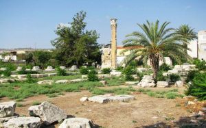
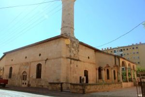
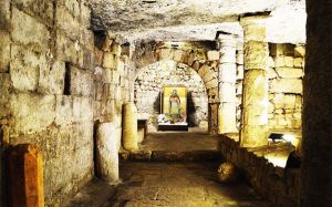
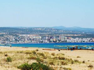
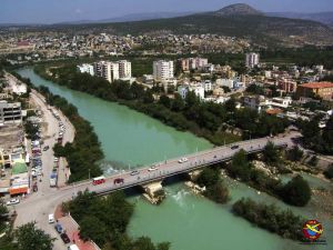
This is Silifke.
This is Silifke.
The districts of Erdemli in the east, Mut and Gülnar in the west; Karaman Province in the north, Silifke, surrounded by the Mediterranean Sea in the south, is a district established on both sides of the Göksu River at the foot of the Toros Mountains. The district is 80 kilometers from the provincial capital.
The districts of Erdemli in the east, Mut and Gülnar in the west; Karaman Province in the north, Silifke, surrounded by the Mediterranean Sea in the south, is a district established on both sides of the Göksu River at the foot of the Toros Mountains. The district is 80 kilometers from the provincial capital.
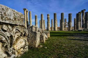
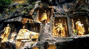
Because of its geographical location, it attracted the attention of people in the First Age. Oh, my God. In the 7th century, the Ionians were located on the site of present-day Taşcu. In the 20th century, there were Ions where the present Stone Age is located. Later, the county was ruled by the Macedonians, the Romans, the Egyptians and the Byzantines, and for 14 years it was under the protection of the Karamanids. The name of the lands that came under Ottoman rule in 1471 was initially Seleucia, but later it became Turkic and Silifke.
In the county, where the typical Mediterranean climate prevails on the coast, the climate changes and changes to a terrestrial climate as it rises towards the interior. Due to its geographical structure, it is located on the world's most important bird migration route.
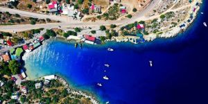
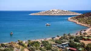
Taşucu, the closest point of Anatolia to Cyprus, is like a border neighbor of Cyprus.
