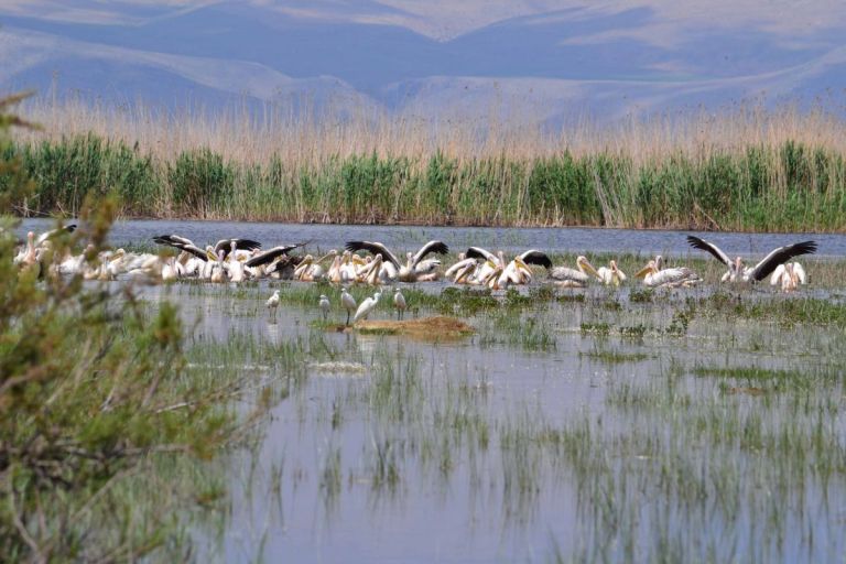
The lake of Aksher

It's in the sedimentary zone between the Sultan Mountains and Mount Emir. Since it is located in a closed basin, there is no outflow.

The lake of Aksher

It's in the sedimentary zone between the Sultan Mountains and Mount Emir. Since it is located in a closed basin, there is no outflow.

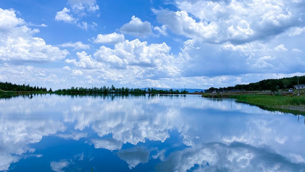
It's a sedimentary area between the Sultan Mountains and Mount Emir. Since it is located in a closed basin, there is no exhaust flow. On the contrary, their water is very little salty. The abundance of fresh water flowing from the shores into the lake allows the water to become salty on the shores. The salinity is more pronounced in the central sections and in the northeast. The lake is shallow. Depth options range from 2-4 meters. The lake is about 10 kilometers wide. All of its shores, except for the coastal stripes, are covered with sparse but extensive reedbeds. In the river deltas, there are also willow communities. In addition to commercially important fish such as mackerel and tuna, there are five other species of fish.

Sorkun, Unnamed Road, 42970 Akşehir/Konya, Türkiye

Değerlendirmeler

Google Yorumlarda 0 yorumun ortalaması 0.0
Henüz hiçbir değerlendirme bulunmamaktadır.
It 's black

It 's black

It is a crater lake with an area of 15 hectares, at an altitude of 2,500 meters, on ...
The Book of Luke

The Book of Luke

It's about 100 meters east of the werewolf monument. It is 10 meters high and is famous for ...
The Wolf Cradle Monument

The Wolf Cradle Monument

The monument, located in the Fasıllar neighborhood, is 18 km east of Beyşehir. The ruins of the Hittite ...
The Obruk Khanate

The Obruk Khanate

An example of a khanate established on trade routes during the Anatolian Seljuk period is the Obruk Khanate. ...
The Hittite Monument of the Fountain of Plato

The Hittite Monument of the Fountain of Plato

It is a monument from the Hittite period and is located right next to the fountain. It's made ...